Top Related Projects
Geographic projections, spherical shapes and spherical trigonometry.
🍃 JavaScript library for mobile-friendly interactive maps 🇺🇦
Interactive, thoroughly customizable maps in the browser, powered by vector tiles and WebGL
OpenLayers
An extension of GeoJSON that encodes topology! 🌐
An open-source JavaScript library for world-class 3D globes and maps :earth_americas:
Quick Overview
Kartograph.js is a JavaScript library for creating interactive vector maps. It allows developers to create customizable, lightweight SVG maps that can be styled and manipulated using CSS and JavaScript. Kartograph.js is particularly useful for creating data visualizations and thematic maps.
Pros
- Lightweight and fast rendering of vector maps
- Highly customizable with CSS and JavaScript
- Supports various map projections and data formats
- Works well with both desktop and mobile browsers
Cons
- Limited documentation and examples
- Not actively maintained (last update was in 2017)
- Steeper learning curve compared to some other mapping libraries
- Lacks some advanced features found in more modern mapping libraries
Code Examples
- Creating a basic map:
var map = kartograph.map('#map');
map.loadMap('world.svg', function() {
    map.addLayer('countries');
});
- Adding interactivity to map elements:
map.addLayer('countries', {
    mouseenter: function(d, path) {
        path.attr('fill', '#f00');
    },
    mouseleave: function(d, path) {
        path.attr('fill', '#ccc');
    }
});
- Styling map elements with CSS:
.country {
    fill: #ccc;
    stroke: #fff;
    stroke-width: 0.5;
}
.country:hover {
    fill: #f00;
}
Getting Started
- Include Kartograph.js and its dependencies in your HTML:
<script src="https://cdnjs.cloudflare.com/ajax/libs/jquery/3.6.0/jquery.min.js"></script>
<script src="https://cdnjs.cloudflare.com/ajax/libs/raphael/2.3.0/raphael.min.js"></script>
<script src="path/to/kartograph.js"></script>
- Create a container for your map:
<div id="map" style="width: 800px; height: 500px;"></div>
- Initialize the map and load an SVG:
var map = kartograph.map('#map');
map.loadMap('path/to/your-map.svg', function() {
    map.addLayer('countries');
});
- Customize the map with CSS and additional JavaScript as needed.
Competitor Comparisons
Geographic projections, spherical shapes and spherical trigonometry.
Pros of d3-geo
- More actively maintained and updated
- Part of the larger D3 ecosystem, offering seamless integration with other D3 modules
- Supports a wider range of projections and geographic transformations
Cons of d3-geo
- Steeper learning curve, especially for those unfamiliar with D3
- Requires more custom code for creating interactive maps
Code Comparison
d3-geo:
const projection = d3.geoMercator()
    .scale(150)
    .translate([width / 2, height / 2]);

const path = d3.geoPath().projection(projection);

svg.selectAll("path")
    .data(geojson.features)
    .enter().append("path")
    .attr("d", path);
kartograph.js:
var map = Kartograph.map('#map');
map.loadMap('world.svg', function() {
    map.addLayer('countries', {
        styles: {
            fill: '#ccc',
            stroke: '#fff'
        }
    });
});
d3-geo offers more flexibility and control over map rendering, while kartograph.js provides a simpler API for basic map creation. d3-geo is better suited for complex, customized visualizations, whereas kartograph.js excels in quickly creating simple, interactive maps with less code.
🍃 JavaScript library for mobile-friendly interactive maps 🇺🇦
Pros of Leaflet
- Larger community and more frequent updates
- Better support for interactive maps and real-time data
- Extensive plugin ecosystem for additional functionality
Cons of Leaflet
- Primarily focused on web-based maps, less suitable for static map generation
- Steeper learning curve for complex customizations
Code Comparison
Leaflet:
var map = L.map('map').setView([51.505, -0.09], 13);
L.tileLayer('https://{s}.tile.openstreetmap.org/{z}/{x}/{y}.png', {
    attribution: '© OpenStreetMap contributors'
}).addTo(map);
Kartograph:
var map = kartograph.map('#map');
map.loadMap('world.svg', function() {
    map.addLayer('countries');
});
Key Differences
- Leaflet uses tile-based mapping, while Kartograph focuses on vector graphics
- Kartograph is better suited for creating custom, stylized maps
- Leaflet offers more robust support for mobile devices and touch interactions
Use Cases
- Choose Leaflet for interactive web maps with real-time data
- Opt for Kartograph when creating unique, artistic map visualizations
Community and Support
Leaflet has a larger user base and more active development, resulting in better documentation and community support compared to Kartograph.
Interactive, thoroughly customizable maps in the browser, powered by vector tiles and WebGL
Pros of mapbox-gl-js
- More active development and larger community support
- Advanced 3D rendering capabilities and support for vector tiles
- Extensive documentation and API reference
Cons of mapbox-gl-js
- Requires a Mapbox account and API key for full functionality
- Larger file size and potentially higher resource usage
Code Comparison
mapbox-gl-js:
mapboxgl.accessToken = 'YOUR_MAPBOX_ACCESS_TOKEN';
const map = new mapboxgl.Map({
    container: 'map',
    style: 'mapbox://styles/mapbox/streets-v11',
    center: [-74.5, 40],
    zoom: 9
});
kartograph.js:
var map = Kartograph.map('#map');
map.loadMap('path/to/map.svg', function() {
    map.addLayer('countries');
    map.addLayer('cities');
});
Key Differences
- mapbox-gl-js uses WebGL for rendering, while kartograph.js uses SVG
- mapbox-gl-js offers more dynamic and interactive features
- kartograph.js is lighter and doesn't require an API key
- mapbox-gl-js has better support for real-time data updates
- kartograph.js is more suitable for simple, static maps
Both libraries have their strengths, but mapbox-gl-js is generally more powerful and versatile, while kartograph.js is simpler and more lightweight.
OpenLayers
Pros of OpenLayers
- More comprehensive and feature-rich, supporting a wide range of map types and data sources
- Active development with frequent updates and a large community
- Extensive documentation and examples available
Cons of OpenLayers
- Steeper learning curve due to its complexity and extensive API
- Larger file size, which may impact page load times for simpler mapping needs
Code Comparison
Kartograph.js:
var map = kartograph.map('#map');
map.loadMap('world.svg', function() {
    map.addLayer('countries');
});
OpenLayers:
var map = new ol.Map({
    target: 'map',
    layers: [
        new ol.layer.Tile({source: new ol.source.OSM()})
    ],
    view: new ol.View({center: [0, 0], zoom: 2})
});
Key Differences
- Kartograph.js focuses on SVG-based maps, while OpenLayers supports various map types including raster and vector
- OpenLayers offers more advanced features like map projections, controls, and interactions
- Kartograph.js is lighter and easier to use for simple mapping needs, while OpenLayers is more suitable for complex GIS applications
Use Cases
- Choose Kartograph.js for simple, lightweight SVG maps with basic interactivity
- Opt for OpenLayers when building full-featured web mapping applications with diverse data sources and advanced functionality
An extension of GeoJSON that encodes topology! 🌐
Pros of TopoJSON
- Smaller file sizes due to topology encoding
- Built-in simplification and quantization features
- Wider adoption and community support
Cons of TopoJSON
- Limited styling options compared to Kartograph.js
- Steeper learning curve for beginners
- Requires additional libraries for advanced visualizations
Code Comparison
Kartograph.js:
var map = kartograph.map('#map');
map.loadMap('world.svg', function() {
    map.addLayer('countries', {
        styles: {
            fill: '#ccc',
            stroke: '#333'
        }
    });
});
TopoJSON:
var svg = d3.select("svg");
var path = d3.geoPath();

d3.json("world.json", function(error, world) {
  svg.append("g")
     .selectAll("path")
     .data(topojson.feature(world, world.objects.countries).features)
     .enter().append("path")
     .attr("d", path);
});
Summary
TopoJSON excels in data efficiency and simplification, making it ideal for complex geographical data. Kartograph.js offers easier styling and is more beginner-friendly. TopoJSON has broader community support, while Kartograph.js provides a more straightforward API for basic map creation. The choice between them depends on specific project requirements and developer expertise.
An open-source JavaScript library for world-class 3D globes and maps :earth_americas:
Pros of Cesium
- Supports 3D globe and map visualizations, offering more advanced geospatial capabilities
- Actively maintained with frequent updates and a large community
- Extensive documentation and examples for easier implementation
Cons of Cesium
- Steeper learning curve due to its complexity and extensive features
- Larger file size and potentially higher resource consumption
Code Comparison
Kartograph.js (SVG-based map):
var map = kartograph.map('#map');
map.loadMap('world.svg', function() {
    map.addLayer('countries');
});
Cesium (3D globe):
var viewer = new Cesium.Viewer('cesiumContainer');
viewer.scene.globe.enableLighting = true;
viewer.camera.flyTo({destination: Cesium.Cartesian3.fromDegrees(0, 0, 20000000)});
Key Differences
- Kartograph.js focuses on lightweight, SVG-based 2D maps, while Cesium provides full 3D globe and map capabilities
- Cesium offers more advanced features like terrain rendering and time-dynamic data visualization
- Kartograph.js is better suited for simple, static map projects, whereas Cesium excels in complex, interactive geospatial applications
Use Cases
- Choose Kartograph.js for basic 2D map visualizations with minimal overhead
- Opt for Cesium when building advanced geospatial applications requiring 3D globes, terrain, or time-based data representation
Convert  designs to code with AI

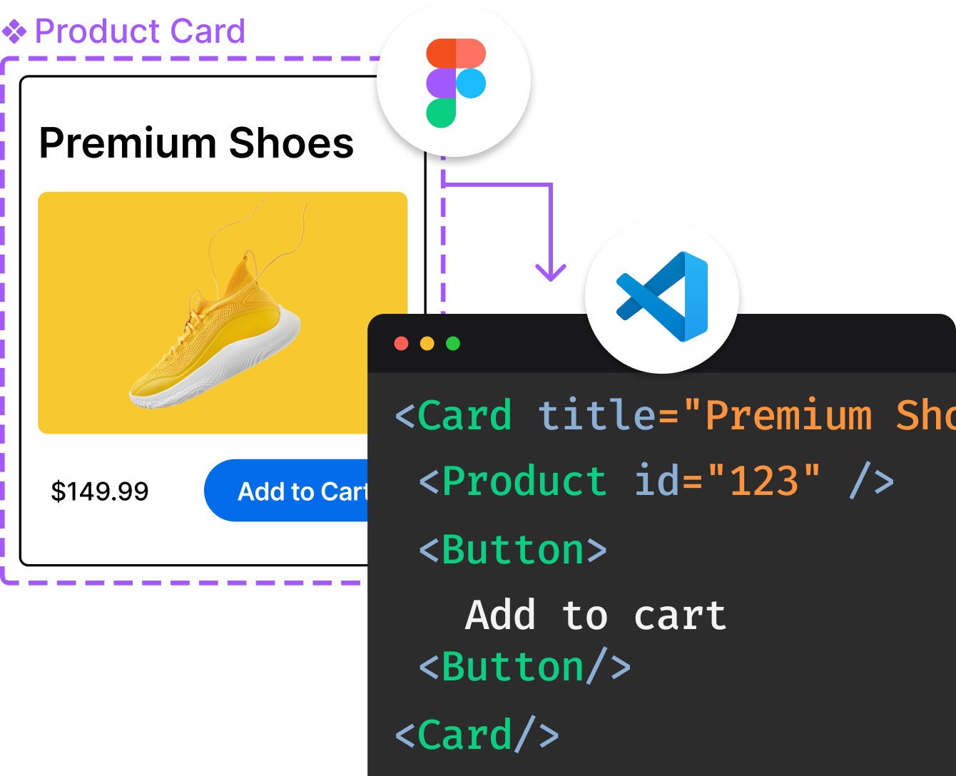
Introducing Visual Copilot: A new AI model to turn Figma designs to high quality code using your components.
Try Visual CopilotREADME
This project is not maintained anymore.
Here are a few reasons why I stopped working on kartograph.js:
- there's no need to support non-SVG browsers anymore, so if I would touch kartograph.js again I would through out the Raphael.js dependency, which would result in a complete re-write which I don't want to spend my time on, because...
- d3.js is an amazing library that can do all the vector mapping that you need! Also d3.js has much more map projections and is more fun to work with.
- Finally, TopoJSON beats SVG as vector geo data format.
So, thanks for the good time we had!
Of course, if you still want to take over from here, kartograph.js is all yours. Just send me an email.
Kartograph.js
Kartograph.js is a JavaScript library that renders SVG maps in web browsers. It is built on top of jQuery and RaphaelJS. Please have a look at the API docs for more details.
Initializing a new map
map = $K.map('#map', 600, 400);
map.loadMap('world.svg', function() {
	map.addLayer('countries', {
		styles: {
			fill: '#ee9900'
		},
		title: function(d) {
			return d.countryName;
		}
	});
});
```

Choropleth maps (aka coloring map polygons based on data):

```javascript
pop_density = { 'USA': 123455, 'CAN': 232323, ... };

colorscale = new chroma.ColorScale({
	colors: chroma.brewer.YlOrRd,
	limits: chroma.limits(chroma.analyze(pop_density), 'k-means', 9)
});

map.getLayer('countries').style('fill', function(data) {
	return colorscale.get(pop_density[data.iso]);
});
```

Adding symbols is easy, too:

```javascript
cities = [{ lat: 43, lon: -75, label: 'New York', population: 19465197 }];

map.addSymbols({
	data: cities,
	location: function(d) {
		return [d.lon, d.lat];
	},
	type: Kartograph.Bubble,
	radius: function(d) {
		return Math.sqrt(d.population) * 0.001;
	}
})
```

### Author

Kartograph was created by [Gregor Aisch](http://github.com/gka/). It is supported by [Piwik Web Analytics](http://piwik.org) and the [Open Knowledge Foundation](http://okfn.org).

### License

Kartograph.js is licensed under [LGPL](http://www.gnu.org/licenses/lgpl-3.0.txt)
Top Related Projects
Geographic projections, spherical shapes and spherical trigonometry.
🍃 JavaScript library for mobile-friendly interactive maps 🇺🇦
Interactive, thoroughly customizable maps in the browser, powered by vector tiles and WebGL
OpenLayers
An extension of GeoJSON that encodes topology! 🌐
An open-source JavaScript library for world-class 3D globes and maps :earth_americas:
Convert  designs to code with AI

Introducing Visual Copilot: A new AI model to turn Figma designs to high quality code using your components.
Try Visual Copilot