Top Related Projects
An extension of GeoJSON that encodes topology! 🌐
🍃 JavaScript library for mobile-friendly interactive maps 🇺🇦
Interactive, thoroughly customizable maps in the browser, powered by vector tiles and WebGL
A lightweight set of tools for working with ArcGIS services in Leaflet. :rocket:
UNMAINTAINED Open source JavaScript renderer for Kartograph SVG maps
Quick Overview
D3-geo is a module of the D3.js library focused on geographic projections, spherical shapes, and spherical math. It provides tools for working with geographic data, creating map projections, and performing calculations on the surface of a sphere. This module is essential for creating interactive maps and geographic visualizations using D3.js.
Pros
- Extensive collection of map projections and geographic utilities
- Seamless integration with other D3 modules for creating complex visualizations
- High performance and efficient calculations for large datasets
- Active community and regular updates
Cons
- Steep learning curve for beginners
- Limited documentation for some advanced features
- Requires additional modules for full-featured mapping (e.g., d3-tile for tiled maps)
- Performance can degrade with very large datasets or complex projections
Code Examples
Creating a simple world map projection:
const width = 960;
const height = 500;

const projection = d3.geoMercator()
    .scale(153)
    .translate([width / 2, height / 2]);

const path = d3.geoPath().projection(projection);

const svg = d3.select("body").append("svg")
    .attr("width", width)
    .attr("height", height);

d3.json("https://unpkg.com/world-atlas@1/world/110m.json").then(function(world) {
    svg.append("g")
        .selectAll("path")
        .data(topojson.feature(world, world.objects.countries).features)
        .enter().append("path")
        .attr("d", path);
});
Calculating the distance between two points on a sphere:
const point1 = [0, 0]; // [longitude, latitude]
const point2 = [10, 10];

const distance = d3.geoDistance(point1, point2);
console.log(`Distance: ${distance} radians`);
Creating a custom projection:
const myProjection = d3.geoProjection((x, y) => [
    x / (1 + Math.sqrt(1 - x * x - y * y)),
    y / (1 + Math.sqrt(1 - x * x - y * y))
]);

const path = d3.geoPath().projection(myProjection);
Getting Started
To use d3-geo in your project:
-
Install d3-geo using npm:
npm install d3-geo -
Import the module in your JavaScript file:
import * as d3 from 'd3-geo'; -
Start using d3-geo functions:
const projection = d3.geoMercator();
const path = d3.geoPath().projection(projection);
For more detailed information and examples, refer to the official d3-geo documentation.
Competitor Comparisons
An extension of GeoJSON that encodes topology! 🌐
Pros of TopoJSON
- Significantly smaller file sizes due to topology encoding
- Supports topology-preserving simplification and quantization
- Allows for efficient mesh generation and boundary operations
Cons of TopoJSON
- Limited to geographic data; not as versatile as D3-Geo
- Requires conversion from GeoJSON or other formats
- Steeper learning curve for those unfamiliar with topological concepts
Code Comparison
D3-Geo:
d3.geoPath()
  .projection(d3.geoMercator())
  .bounds(geojsonFeature);
TopoJSON:
topojson.mesh(topology, topology.objects.countries);
topojson.feature(topology, topology.objects.countries);
D3-Geo focuses on projections and path generation for various geographic data types, while TopoJSON specializes in efficient encoding and manipulation of topological data. D3-Geo is more versatile for general geographic visualizations, whereas TopoJSON excels in scenarios requiring compact file sizes and topology-aware operations.
Both libraries can be used together, with TopoJSON providing efficient data storage and D3-Geo handling the rendering and projection aspects. The choice between them depends on specific project requirements, such as file size constraints, topology preservation needs, and the complexity of geographic operations required.
🍃 JavaScript library for mobile-friendly interactive maps 🇺🇦
Pros of Leaflet
- Easier to use for beginners, with a simpler API and more intuitive methods
- Better suited for interactive web maps with built-in controls and UI elements
- Extensive plugin ecosystem for additional functionality
Cons of Leaflet
- Less flexible for custom projections and advanced geographic calculations
- Limited support for non-tile-based map visualizations
- Heavier file size compared to d3-geo, which may impact load times
Code Comparison
Leaflet:
var map = L.map('map').setView([51.505, -0.09], 13);
L.tileLayer('https://{s}.tile.openstreetmap.org/{z}/{x}/{y}.png').addTo(map);
L.marker([51.5, -0.09]).addTo(map).bindPopup('A marker!').openPopup();
d3-geo:
var projection = d3.geoMercator().center([0, 5]).scale(200);
var path = d3.geoPath().projection(projection);
svg.selectAll("path")
   .data(geojson.features)
   .enter().append("path")
   .attr("d", path);
Leaflet is more straightforward for creating interactive maps with markers and popups, while d3-geo offers greater control over projections and path generation for custom visualizations.
Interactive, thoroughly customizable maps in the browser, powered by vector tiles and WebGL
Pros of mapbox-gl-js
- Offers advanced 3D rendering capabilities
- Provides built-in interactivity and controls
- Supports real-time data updates and animations
Cons of mapbox-gl-js
- Requires an API key and may have usage limits
- Larger file size and potentially higher resource usage
- Less flexibility for custom projections and data manipulations
Code Comparison
mapbox-gl-js:
mapboxgl.accessToken = 'your-access-token';
const map = new mapboxgl.Map({
    container: 'map',
    style: 'mapbox://styles/mapbox/streets-v11',
    center: [-74.5, 40],
    zoom: 9
});
d3-geo:
const projection = d3.geoMercator()
    .center([-74.5, 40])
    .scale(5000);
const path = d3.geoPath().projection(projection);
svg.selectAll("path")
    .data(geojson.features)
    .enter().append("path")
    .attr("d", path);
d3-geo focuses on low-level geographic calculations and projections, offering more flexibility for custom visualizations. It's lightweight and doesn't require an API key, but lacks built-in interactivity and advanced rendering features. mapbox-gl-js provides a more complete mapping solution with out-of-the-box functionality, 3D capabilities, and interactive controls, but comes with potential costs and less customization options for projections and data handling.
A lightweight set of tools for working with ArcGIS services in Leaflet. :rocket:
Pros of esri-leaflet
- Integrates seamlessly with ArcGIS services and data
- Provides easy-to-use API for working with Esri basemaps and feature layers
- Offers a wide range of Esri-specific functionality out of the box
Cons of esri-leaflet
- Limited to Leaflet-based applications, less flexible for custom visualizations
- Requires an ArcGIS Online account or ArcGIS Server for full functionality
- May have a steeper learning curve for those unfamiliar with Esri ecosystem
Code Comparison
esri-leaflet:
L.esri.basemapLayer('Streets').addTo(map);
L.esri.featureLayer({url: 'https://services.arcgis.com/....'}).addTo(map);
d3-geo:
d3.geoPath()
  .projection(d3.geoMercator())
  .context(context);
context.stroke();
Summary
esri-leaflet is ideal for projects heavily reliant on Esri services and data, offering seamless integration with ArcGIS. It's particularly useful for web mapping applications using Leaflet. d3-geo, on the other hand, provides more flexibility for custom geographic visualizations and is not tied to any specific mapping library or service provider. It's better suited for creating unique, data-driven geographic representations, but requires more low-level programming.
UNMAINTAINED Open source JavaScript renderer for Kartograph SVG maps
Pros of kartograph.js
- Specialized for creating interactive vector maps
- Supports SVG output for high-quality, scalable maps
- Includes built-in map projections and simplification algorithms
Cons of kartograph.js
- Less actively maintained compared to d3-geo
- More limited in scope, focusing primarily on map creation
- Smaller community and fewer resources available
Code Comparison
kartograph.js:
var map = kartograph.map('#map');
map.loadMap('world.svg', function() {
    map.addLayer('countries');
});
d3-geo:
var projection = d3.geoMercator();
var path = d3.geoPath().projection(projection);
d3.select("svg")
  .selectAll("path")
  .data(geojson.features)
  .enter().append("path")
  .attr("d", path);
Key Differences
- kartograph.js provides a higher-level API for map creation, while d3-geo offers more low-level control
- d3-geo is part of the larger D3.js ecosystem, providing more flexibility for data visualization beyond maps
- kartograph.js focuses on SVG output, while d3-geo supports both SVG and Canvas rendering
Use Cases
- Choose kartograph.js for quick, interactive vector map creation with less customization
- Opt for d3-geo when you need more control over map rendering or want to integrate with other D3.js visualizations
Convert  designs to code with AI

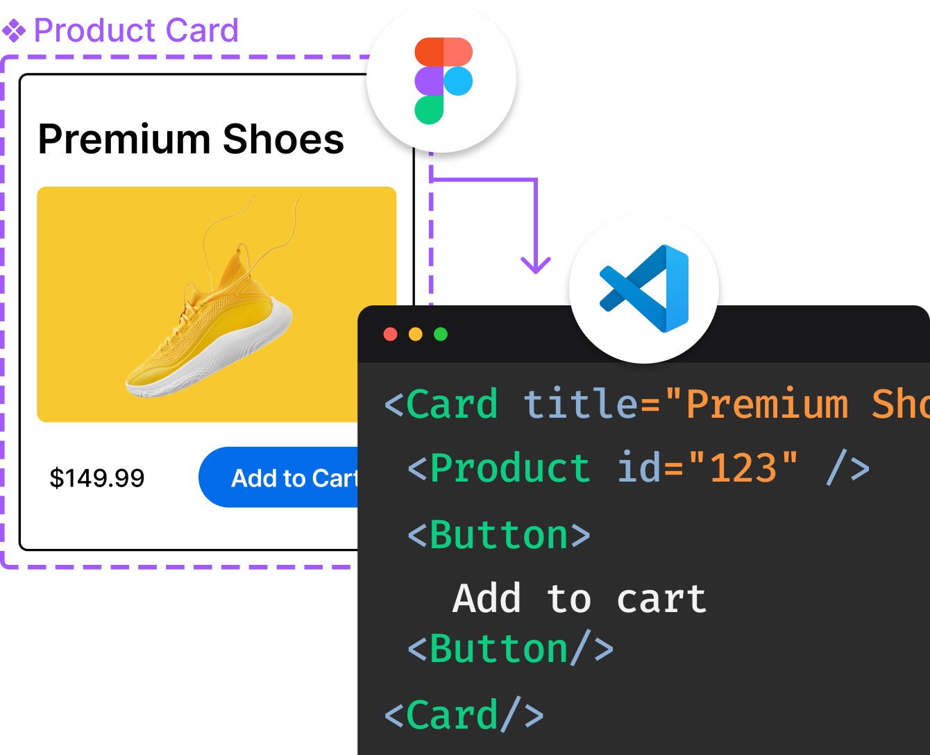
Introducing Visual Copilot: A new AI model to turn Figma designs to high quality code using your components.
Try Visual CopilotTop Related Projects
An extension of GeoJSON that encodes topology! 🌐
🍃 JavaScript library for mobile-friendly interactive maps 🇺🇦
Interactive, thoroughly customizable maps in the browser, powered by vector tiles and WebGL
A lightweight set of tools for working with ArcGIS services in Leaflet. :rocket:
UNMAINTAINED Open source JavaScript renderer for Kartograph SVG maps
Convert  designs to code with AI

Introducing Visual Copilot: A new AI model to turn Figma designs to high quality code using your components.
Try Visual Copilot